Maps
|
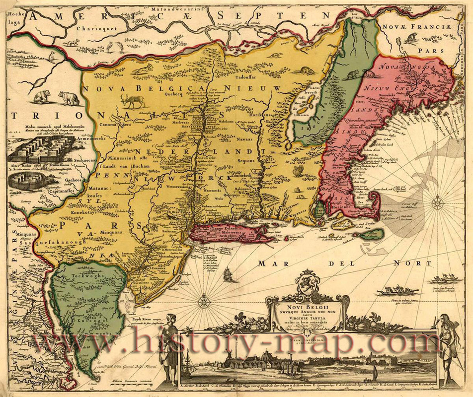
This is a detailed map of 17th century New England with the Plymouth colony appearing opposite the tip of Cape Cod. It also shows some of the terrain and carious river and colonies.
|

This map is of the location New England settlements (1620-1636) shown in their modern state boundaries.
|
Another detailed map that shows ports, towns, and what areas were owned by who (i.e. colonies/countries/native land)
|
